Use the maps below to see how recommended improvements to the transit system could serve you.
Central Indiana Transit Maps
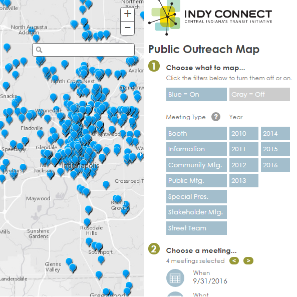
Where We've Been
A map of Indy Connect meetings from 2010 through 2016.

DETAILED RED LINE MAPS
For the Red Line rapid transit project, IndyGo has created a detailed, interactive map of the entire route for the first phase of the Red Line.

JOB OPPORTUNITY MAP
Enter your address to see your score and the number of jobs you can get to within 30 minutes by transit.
Affordability Maps

The Location Affordability Index
The Location Affordability Index (LAI) gives estimates of the percentage of a family's income dedicated to the combined cost of housing and transportation in a given location. (USHUD, USDOT)

The H+T Affordability Index
The Housing and Transportation (H+T®) Affordability Index provides a comprehensive view of affordability that includes both the cost of housing and the cost of transportation at the neighborhood level. (Center for Neighborhood Technology)

Data USA - Regional Information
Data USA provides a unique, highly visual way to look at information for the Central Indiana region. It includes data on the economy, demographics, education, housing, health & safety, and much more.